How Hydrometeorological Data Improves Climate Disaster Preparedness?
If you look worldwide, weather-related disasters are becoming more frequent and severe. Floods, droughts, heatwaves, storms, and cold extremes now cause more economic damage and human misery in total than any other category of natural hazard.
Though such events cannot be entirely prevented, their impacts can be significantly mitigated by early and accurate hydrometeorological data analysis.
Understanding Hydrometeorological Data Analysis
Hydrometeorological information is all about tropospheric system water, weather, and climate. It also covers quantities of rainfall and river flow, temperature patterns (temperatures related to general atmospheric conditions), and snowfall.
When it’s gathered, analyzed, and communicated well, this data can be a formidable way against disasters by helping governments and communities anticipate risks rather than respond to them after they occur.
Hydrometeorological data analysis services are fundamental to disaster risk management, supporting early warning systems, climate prediction, and decision-making across a range of sectors.
Benefits of Hydrometerological Data Analysis in Climate Data Preparedness
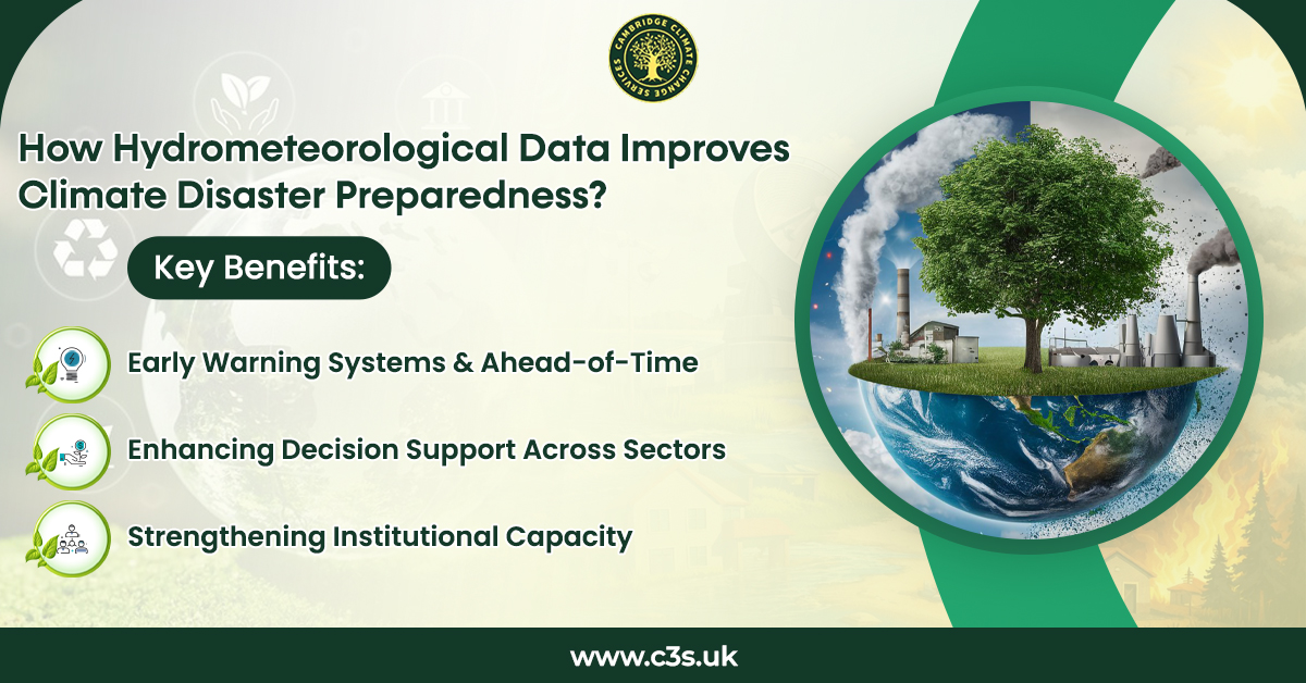
Early Warning Systems and Ahead-of-Time
The most critical value of hydrometeorological data analysis lies in early warning systems. Timely and reliable weather forecasts and flood/storm predictions provide lead time for extreme weather events such as flooding or storming.
This amount of time includes the time response and local agencies, as well as communities, need to create evacuation plans, secure people or property in threatened areas, and minimize loss of life.
EWS are most effective when tied to public awareness, preparedness , and clear lines of communication. Instruments such as flood forecasting models, meteorological alerts, and visualization platforms facilitate the conversion of complex information into messages that people can easily understand and act on in a short time.
Supporting Risk Identification and Reduction
Hydrometeorological information is essential for identifying climate and weather-related risks at national, regional, and local scales. Long-term climate data help map areas of risk, identify exposed populations, and determine how climate variability and change will affect future risk.
Reports highlights risk assessment, risk reduction, and risk transfer as key elements of disaster risk management. All three are supported by accurate hydrometric data analysis that provides input into land-use planning, design standards for infrastructure, and policies to ensure insurance practice. Without reliable information, risk appraisal is incomplete, and disaster prevention work is hampered.
Enhancing Decision Support Across Sectors
Aside from disaster relief, hydrometeorological data contribute to climate resilience across crucial economic sectors. Its significance for water management, agriculture, hydropower production, transportation, urban growth, and public health was underlined in a workshop report.
Better hydrologic forecasts, for instance, inform reservoir management and reduce the threat of downstream flooding. In agriculture, climate forecasts help determine when to plant and prepare for drought.
In urban areas, drainage planning and infrastructure investment are informed by weather and flood data. These examples show that hydrometeorological products go beyond natural hazards to support long-term climate adaptation.
Adopting Best Practices and Technological Advances
The French “Vigilance Map” and European Meteo Alarm schemes were examples of how clear communication and harmonised warning systems can ensure the public responds to threats.
The survey participants also stressed the significance of contemporary observation networks, data-sharing portals, and visualization systems.
When hydrometeorological information is available and interchangeable, it improves coordination among meteorological agencies, disaster management organizations, and policymakers.
Strengthening Institutional Capacity
One frequent refrain during the proceedings was that the data were insufficient. Disaster preparedness is actively supported by robust institutions, legal frameworks, and government structures that can apply hydrometeorological data into practice.
With assistance from the World Bank and others, many countries in Eastern Europe and Central Asia, including Albania, Moldova, and Georgia, as well as Central Asian countries, have invested in modernizing hydrometeorological data analysis services.
Such investments will help enhance forecasts, strengthen early warning systems, and feed climate information into national disaster risk management plans.
Conclusion
Hydrometeorological information is a crucial part of preparing for climate disasters. By providing early warnings, enhancing risk analysis, enabling informed decision-making, and developing institutional capacities, it promotes the transition that society needs to make away from ad hoc responses to disasters and towards an integrated approach to managing future risks.
With climate extremes expected to worsen, sustained investment in hydrometeorological data analysis services, tools, and the sharing of knowledge is essential for protecting lives, livelihoods, and economic investment everywhere.